
Mohmand Dam



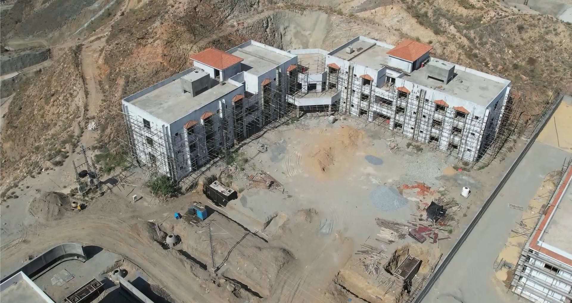
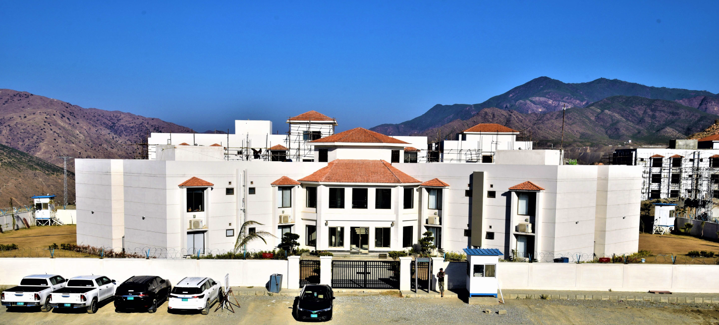
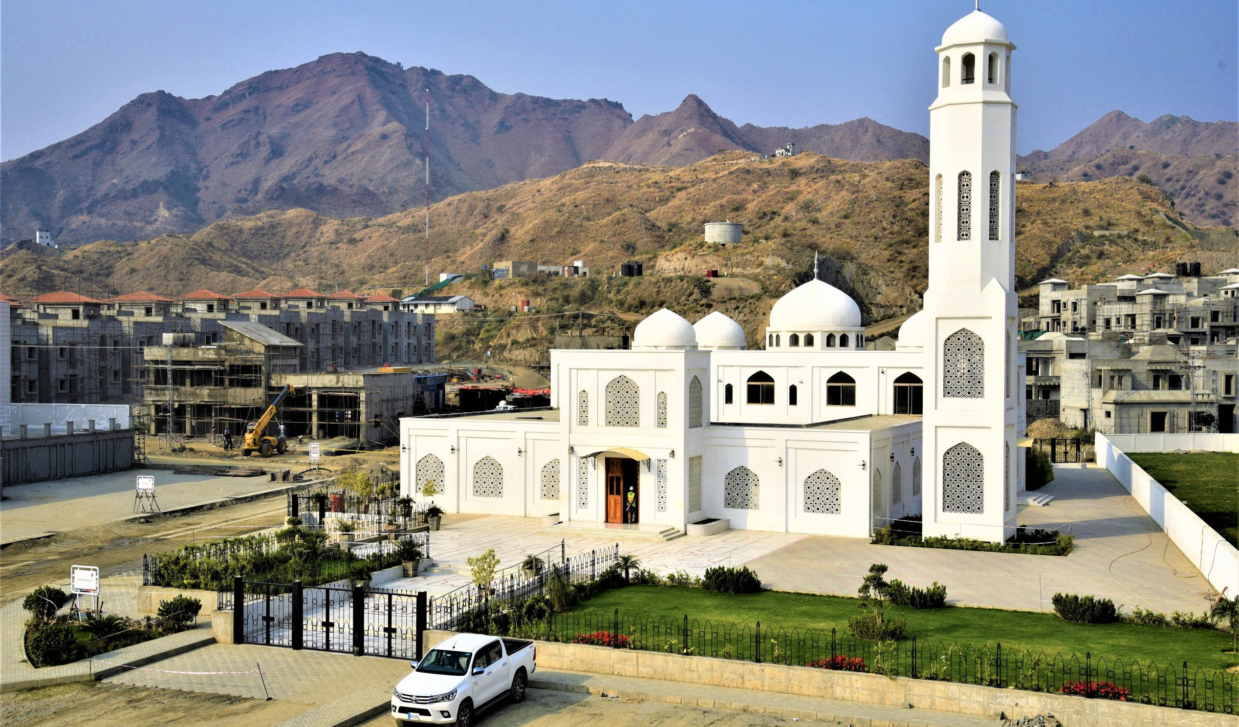
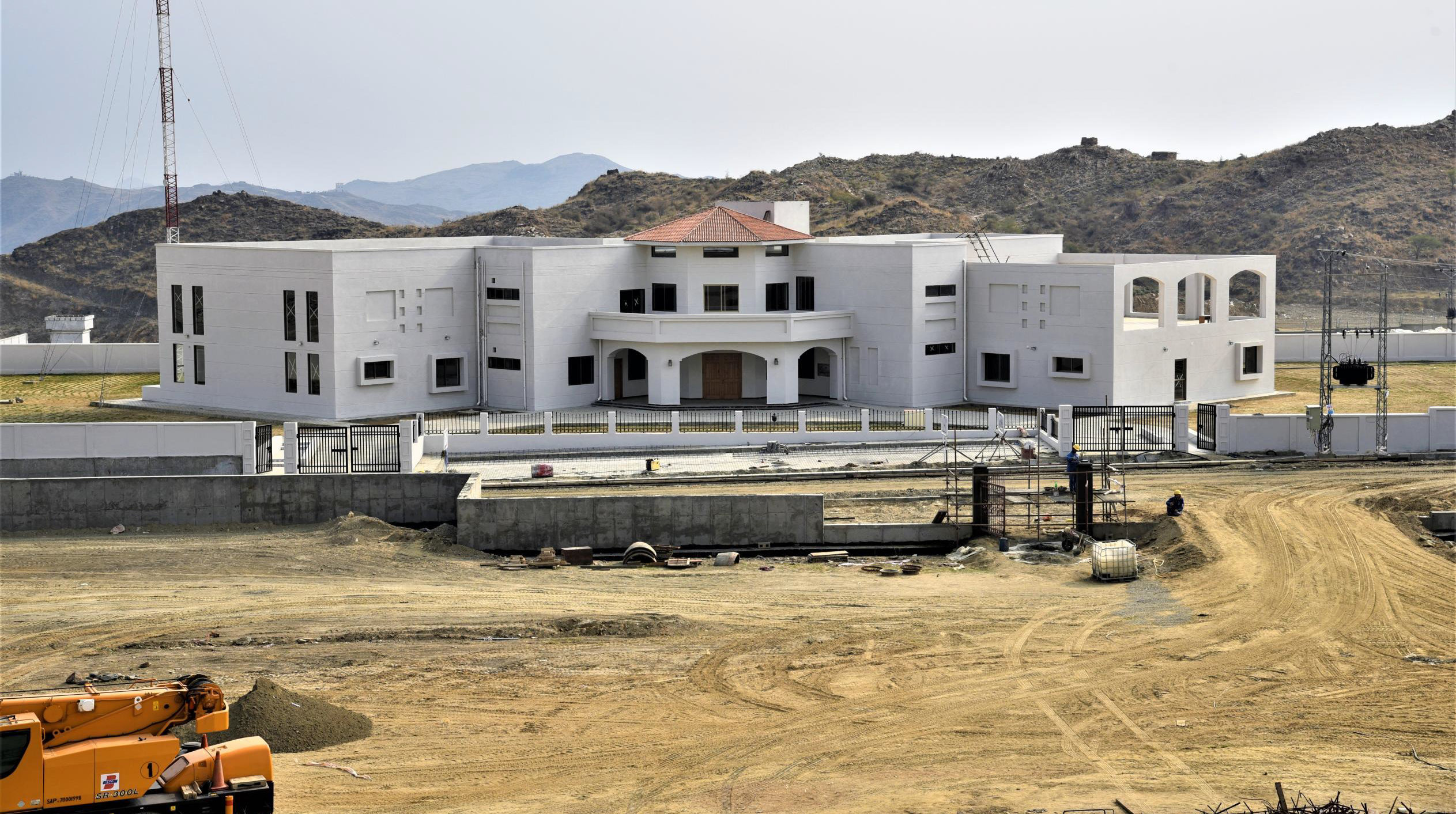
Name of Project : Mohmand Dam Hydropower Project (MDHP)
Location / Country : District Mohmand (Merged Area), Khyber Pakhtunkhwa / Pakistan
Client : WAPDA
Funded by : Ministry of Water & Power, Govt. of Pakistan
Commencement : December 2019
Completion : December 2026
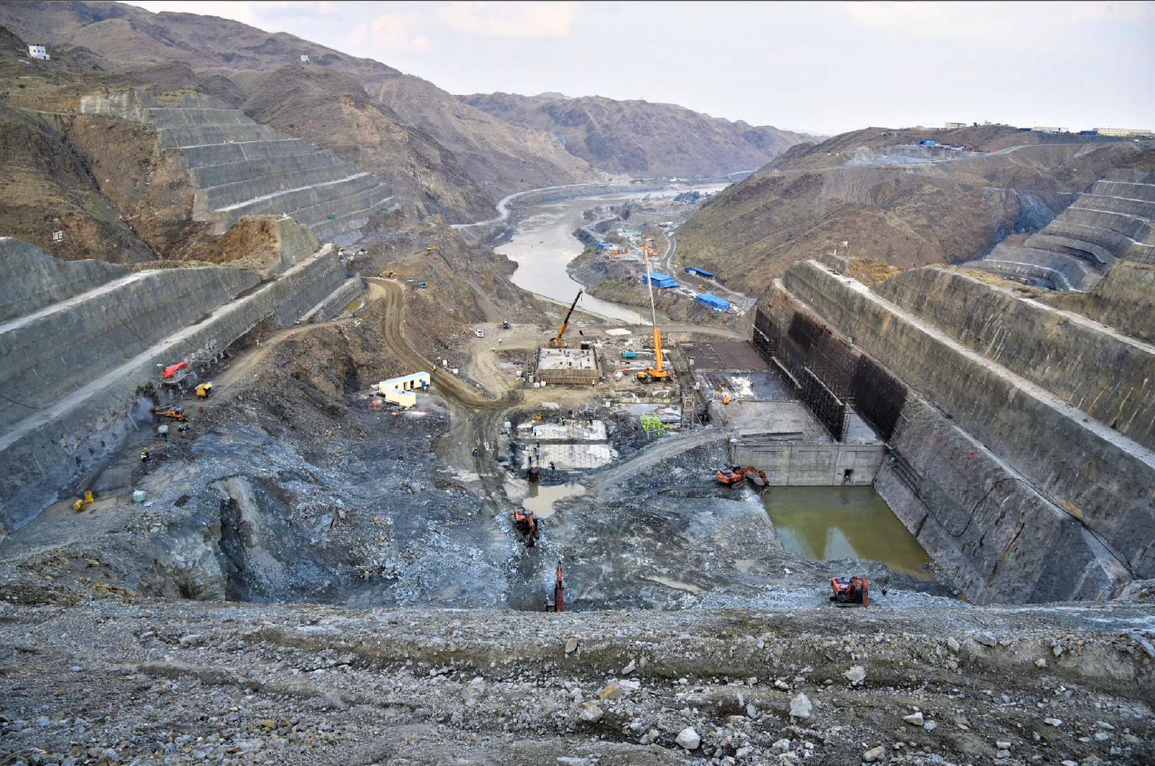
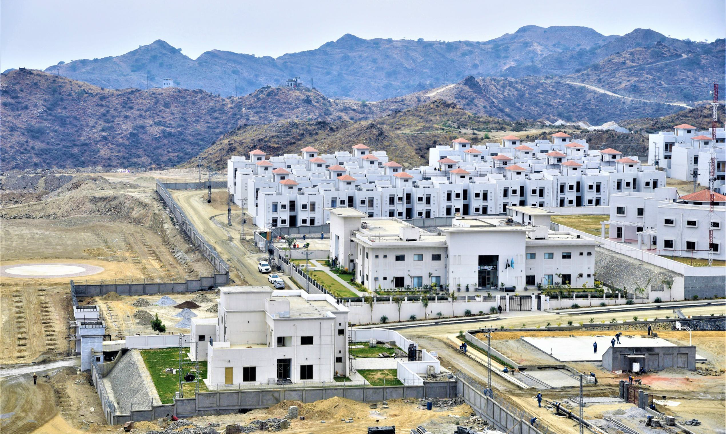
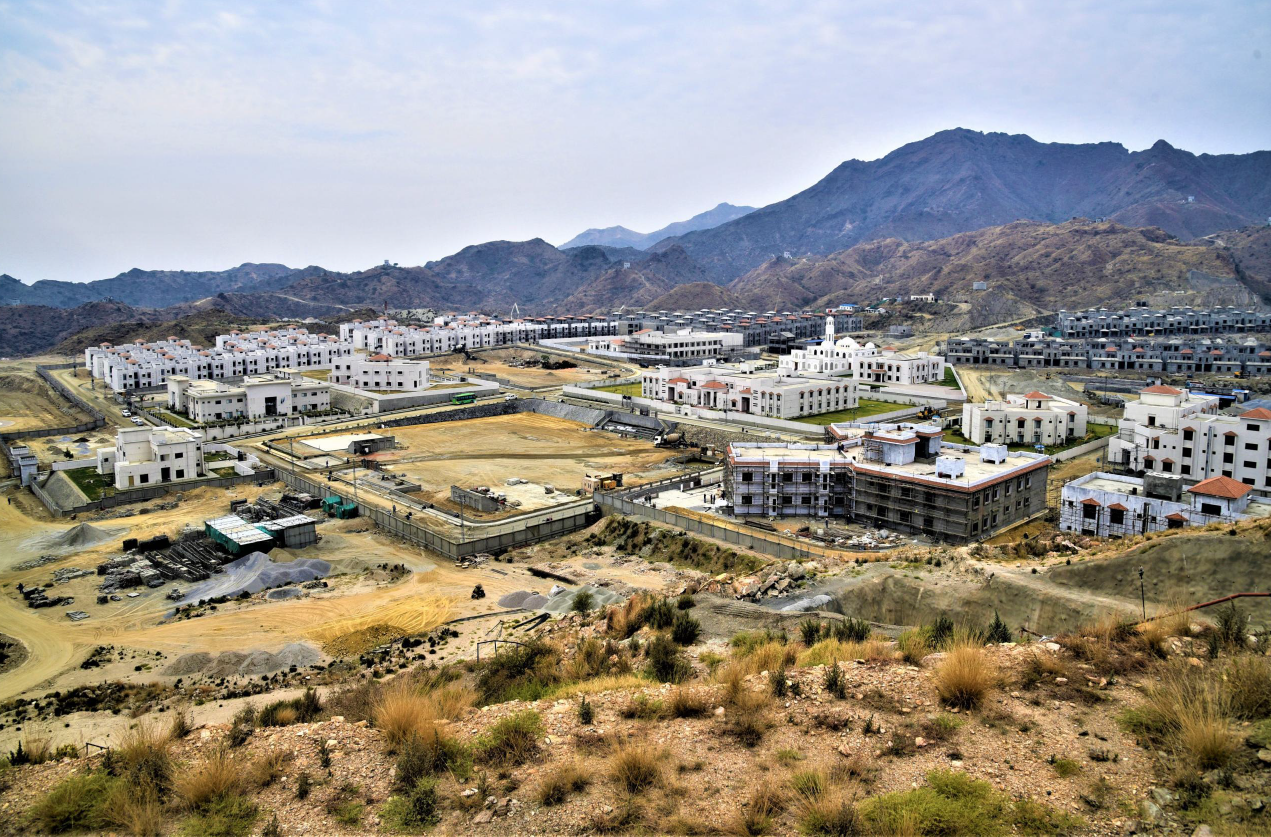
MDHP is a multipurpose facility located about 5 km upstream of the existing Munda Headworks, with its dam site at a distance of about 48 km from Peshawar; and its reservoir area extending upstream to Mohmand and Bajaur Tribal Districts, in KP.
MDHP comprises of the following major components:
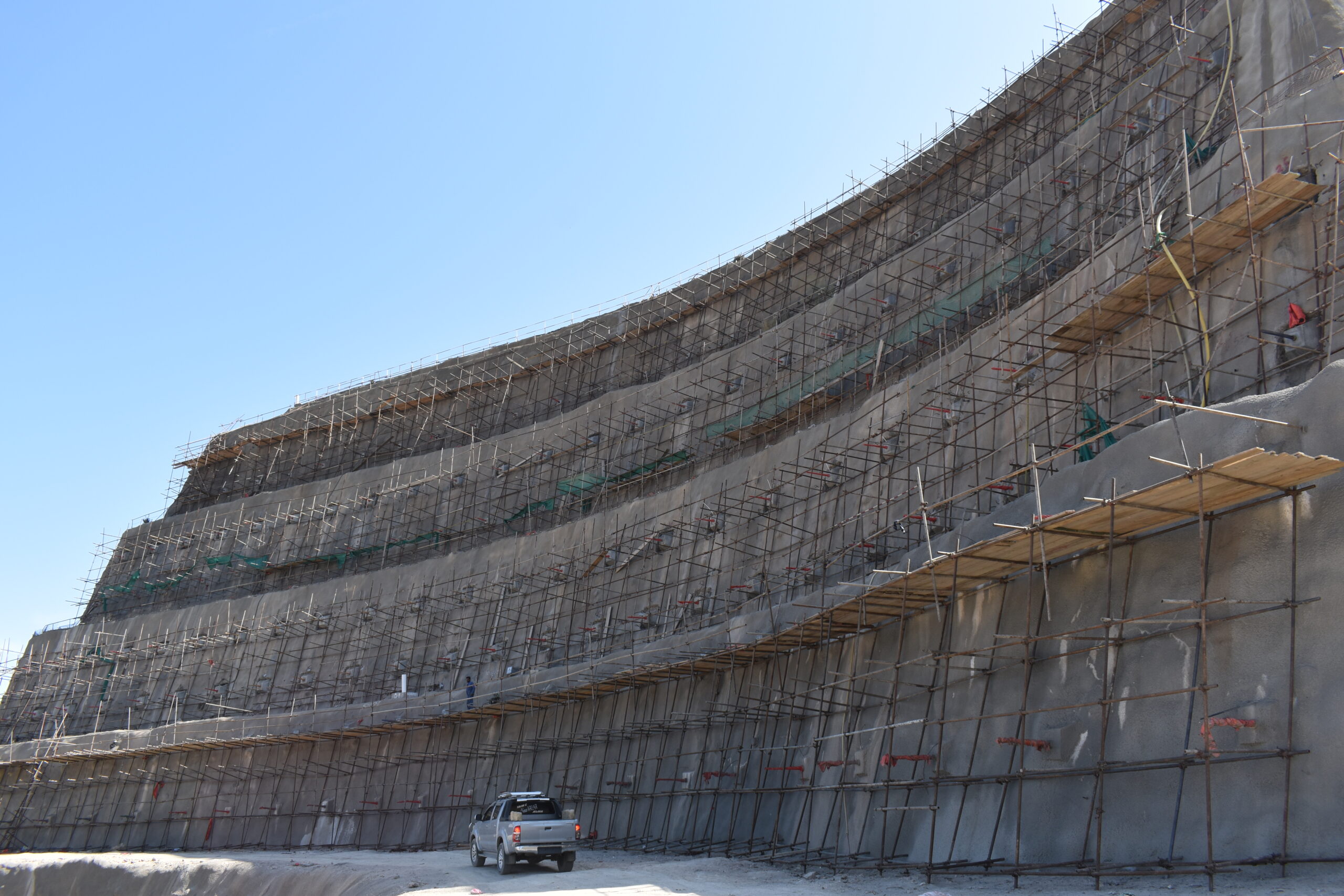
- Main dam (CFRD) with 213 m height, 716 m crest length & 12 m width;
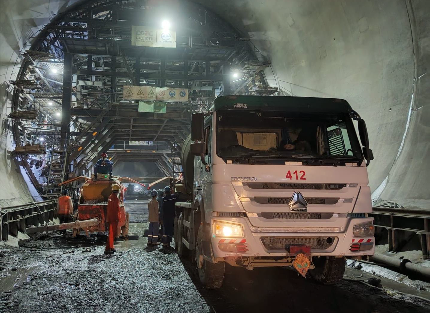
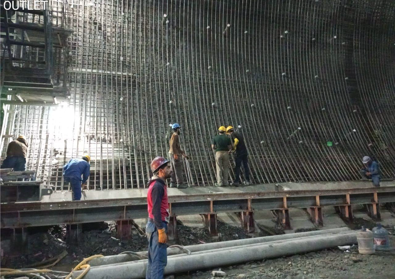
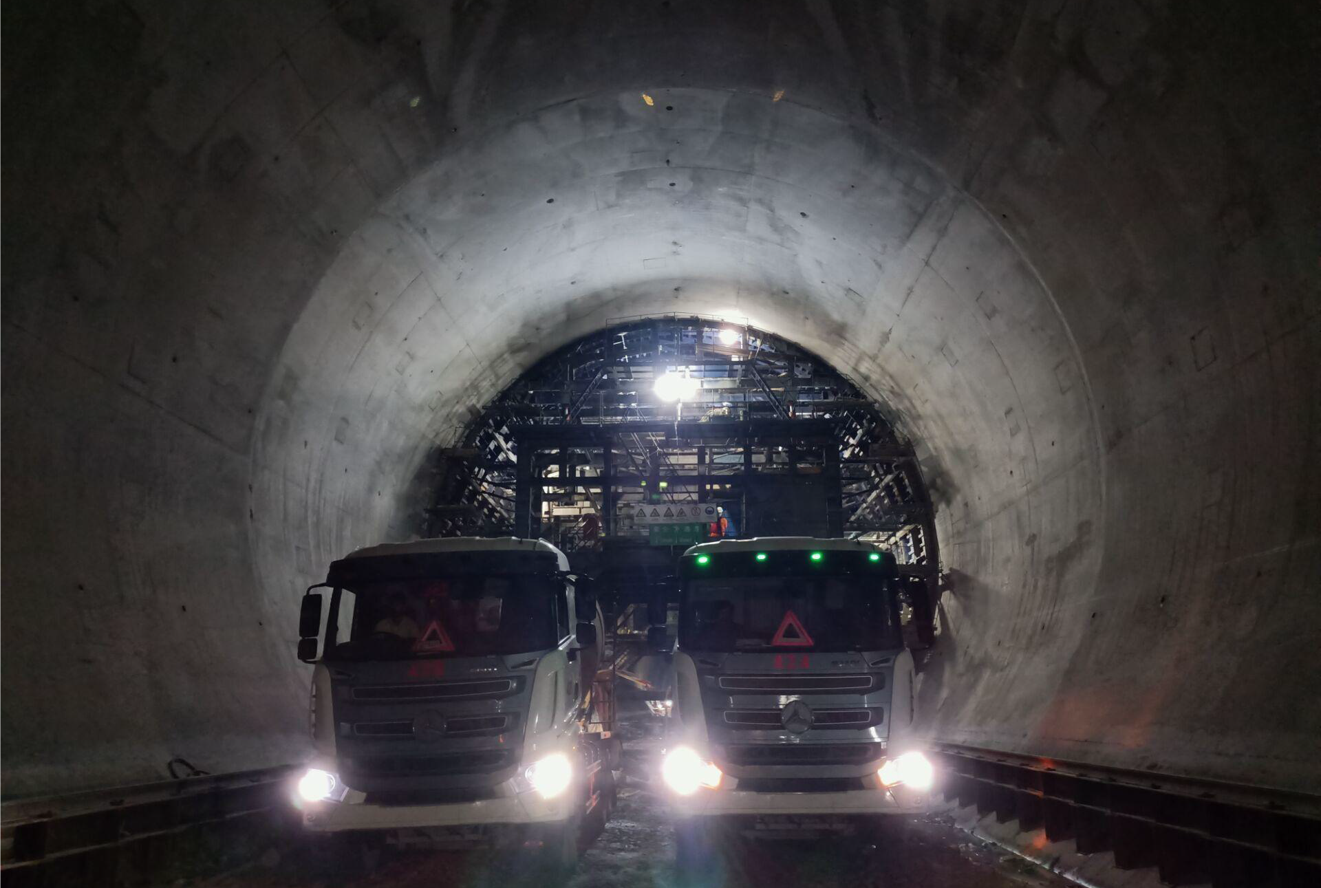
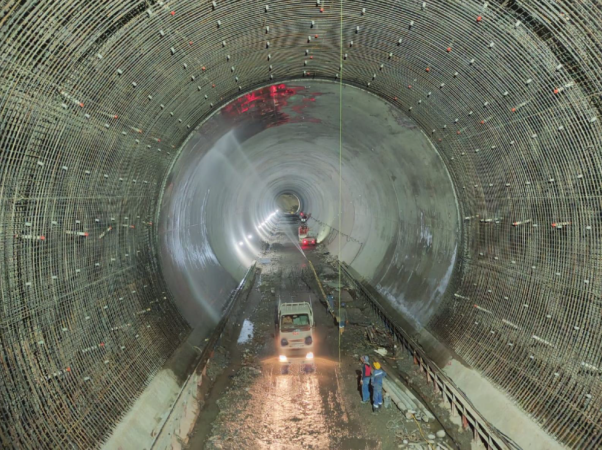
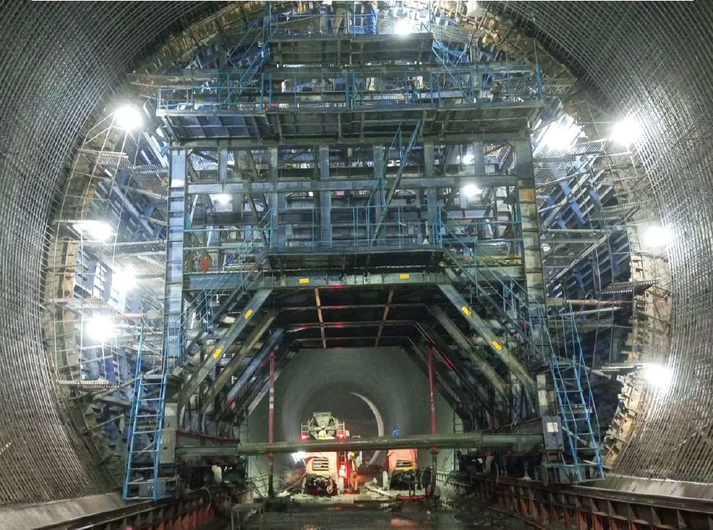
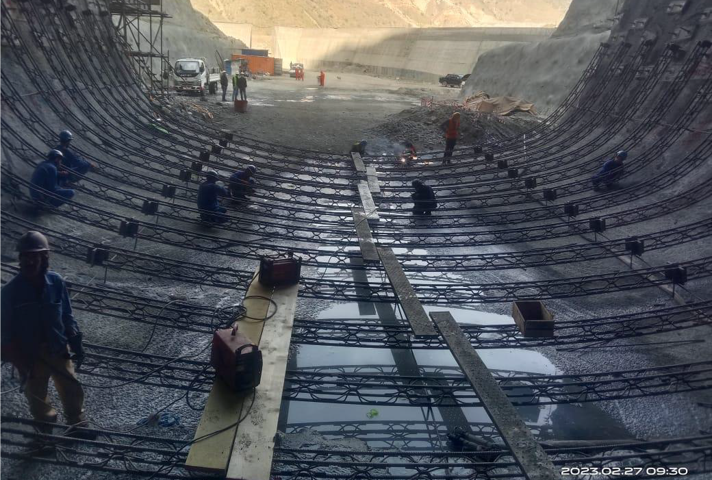
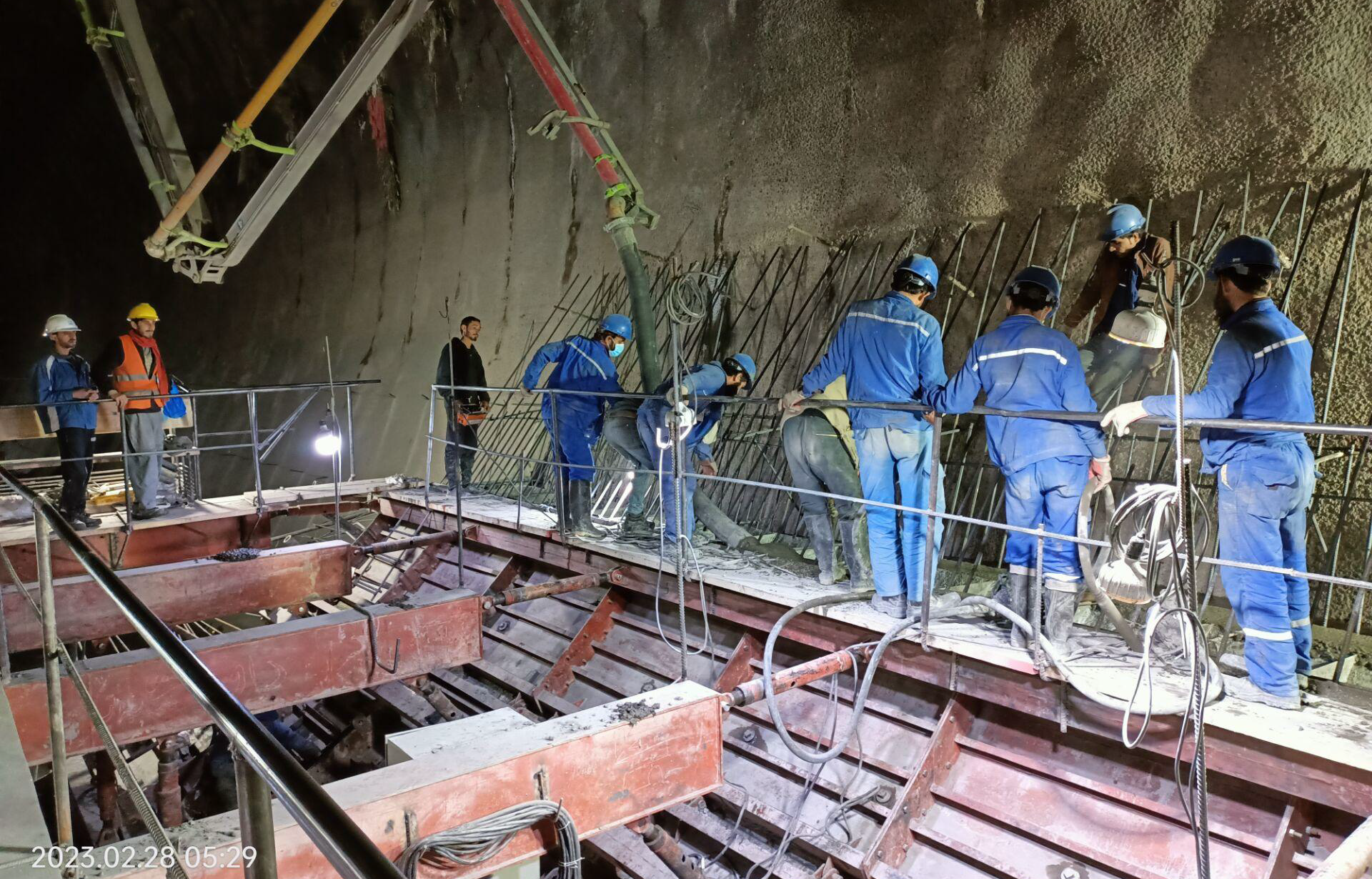
- Two Diversion Tunnels, each 3,317 m long with 15 m dia, for 5,900 cumecs design flood;
- Spillway of gated Ogee Weir type with a clear width of 105 m and capacity of 25,514 cumecs, with 7 No. radial gates each having a size of 15 m x 21 m;
- Headrace Tunnel about 722 m long and 13.2 m dia;
- Penstock about 406 m long with diameter varying from 4.9 to 10 m;
- Open Air Surface Powerhouse (size 55 m x 157 m);
- Tail Water Regulation Pond;
- Transmission System;
- Left Bank Irrigation Tunnel (4.3 Km long and 2.5 m dia);
- Right Bank Irrigation Tunnel (3.0 Km long and 2.5 m dia);
- Left Bank Irrigation Canal (12.4 Km long for 3.5 cumecs); and
- Right Bank Irrigation Canal (14.75 Km long for 3.2 cumecs).
MDHP aims at accruing the following benefits:
- Power generation of 800 MW, with 186 m gross head and 544 cumecs discharge;
- Irrigated Agricultural development of 6,773 hectares;
- Flood control with gross storage capacity of 1,596 MCM, live storage capacity of 834 MCM and Probable Maximum Flood of 27,427 cumecs;
- Drinking Water Supply of 13.30 cumecs to Peshawar;
- Annual Energy of 2,862 GWh / 3,051 GWh (with / without water supply to Peshawar); and
- CCA on the Left Bank (3,649 hectare) and on the Right Bank (3,124 hectare).