
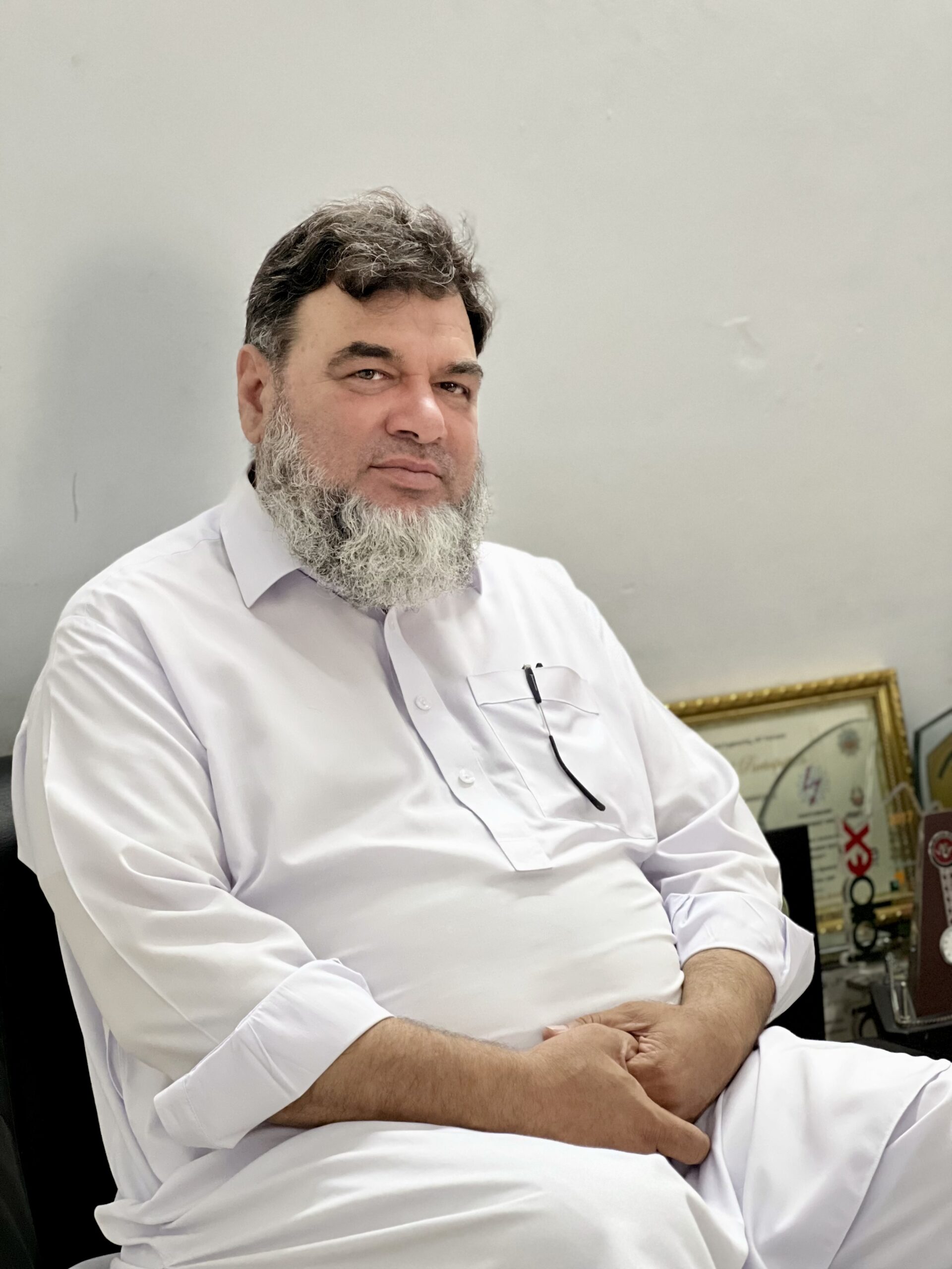
Working since 1995, with a bachelor degree in Civil Engineering and masters in Construction Management, Mr. Mukhtar‘s field of interest has been GIS Cartography wherein he delivered excellent services to the Department for International Development (DFID) / British Council, GTZ and the World Bank. But his all the time ready-to-work nature always forced him to be involved in other areas related to Civil Engineering and he accordingly undertook field surveys, planned, designed and supervised construction works for a no. of projects including irrigation, hydropower, buildings, water supply schemes and road projects. At international level, he worked as design team-member on Kennana and Rahad-II Irrigation projects in Sudan in the capacity of Senior Engineer with experts from different parts of the globe.
In addition to his multi-dimensional involvement in technical assignments, he has trained engineers on latest survey & design software with their practical application at various stages of planning and designing engineering projects. Mr. Mukhtar is a well versant in MapInfo (GIS), AutoCAD, SAP 2000, PCA Col, Sdl-1, Surfer, Water CAD, Primavera, MS Project, MS Excel, MS Word, Power Point etc.